Search

Tracking Nicholas: Gro Sees Risk to Gulf Coast Soybeans, Corn, Cotton
Tropical Storm Nicholas is expected to bring heavy rainfall, storm surge, and strong winds to coastal areas in Texas and southwest Louisiana, threatening soybean, corn, and cotton crops as it moves through the region.
There is also a risk that storm damage could alter refinery plants’ production schedules and impact fuel prices just as harvest activity starts to ramp up across the US. Additionally, heavy rain in southern Louisiana will add to the difficulties of restoring barge traffic in the Lower Mississippi River, following Hurricane Ida.
Current models have Nicholas arriving as a tropical storm, but there is a chance that Nicholas could strengthen into a Category 1 hurricane before making landfall this evening.
This Gro display highlights where soybeans, corn, and cotton are planted in the region. While Texas and Louisiana’s corn harvests are wrapping up, the region’s soybean harvest is just getting underway. For cotton, boll-opening in Louisiana is about 71% complete, meaning that a quarter of Louisiana’s crop is still at high risk for significant wind and rain damage.
In Texas, heavy rainfall currently poses the greatest risk to corn and soybean growing-counties including Matagorda County, Brazoria County, and Jackson County.
The GFS forecast from now through Wednesday morning shows Nicholas pounding the areas south of Houston with 9 inches of rain.
This forecast will fluctuate as the storm develops, but it's possible that Nicholas will dump more than 10 inches of rain in parts of southeastern Texas and southern Louisiana.
There is also a risk that rainfall will exceed this amount, especially in the coastal areas southeast of Houston.
Ultimately, the path of the storm will determine where the heaviest rainfall bands set up, but currently the Gulf Coast faces a moderate risk - or a 20% chance - of flash flooding along the coast between Corpus Christi, Texas and Mobile, Alabama and inland in southwestern Mississippi, south central Louisiana, and southeastern Texas. Houston, New Orleans, and Lake Charles, Louisiana, in the soybean-growing county of Calcasieu Parish, are all within the storm’s moderate-risk flash flooding zone.
A storm surge warning is in effect along the Texas and Louisiana coasts from Port Aransas, Texas to Sabine Pass, along the Texas-Louisiana border. Current model projections indicate a 1 to 3 foot storm surge, but it is possible that a few spots could see 3 to 6 feet of storm surge.
Compared with Hurricane Ida, Nicholas’s winds should be modest, but there is a moderate-to-high risk of tropical storm-force winds sweeping through cotton-growing areas in Matagorda County, Texas. While not as high, there is a small risk that hurricane winds will hit these cotton growing areas if Nicholas strengthens into a hurricane.
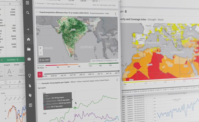
This insight was powered by the Gro platform, which enables better and faster decisions about factors affecting the entire global agricultural ecosystem. Gro organizes over 40,000 datasets from sources around the world into a unified ontology, which allows users to derive valuable insights such as this one. You can explore the data available on Gro with a free account, or please get in touch if you would like to learn more about a specific crop, region, or business issue.
 Insight
Brazil Corn Yields Set to Decline, Gro Predicts
 Insight
Gro’s 2024 Watchlist: 7 Major Themes for Agriculture in the Year Ahead
 Insight
USDA Increases 2023 US Corn and Soybean Production Estimates
 Blog
Blog